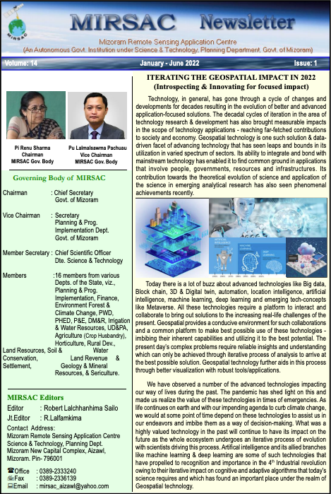
SSIDH Project Wins Chief Minister’s Award for Excellence in Public Administration 2025.
Celebration of CM Award for excellence in public administration, 2025 | 7th Oct. 2025
National Space Day Celebration at Champhai – 7th August 2025
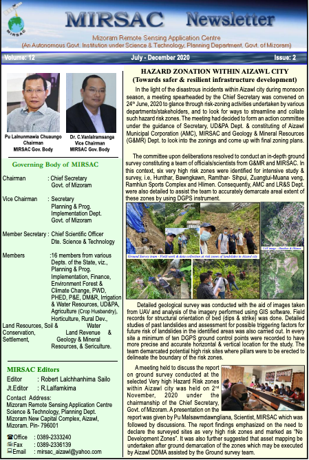
Handover programme of large scale mapping of wet rice cultivation potential areas in Mizoram | 27/5/2025
MIRSAC @ Mizoram Science Mela 2024
SSIDH Workshop with Horticulture Deptt.
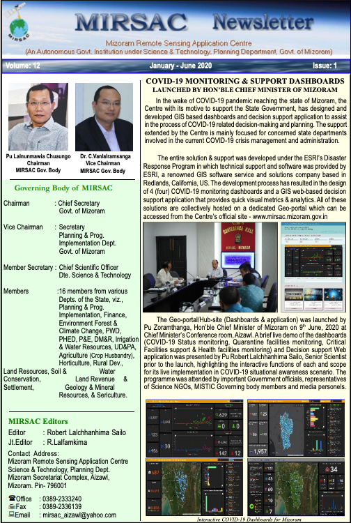
National Space Day Celebration at Mizoram University on 23rd August 2024
National Space Day broadcasts
Local media & AIR
Atlas of Large scale Mapping of Wet Rice Cultivation Potential Areas in Mizoram
Notices

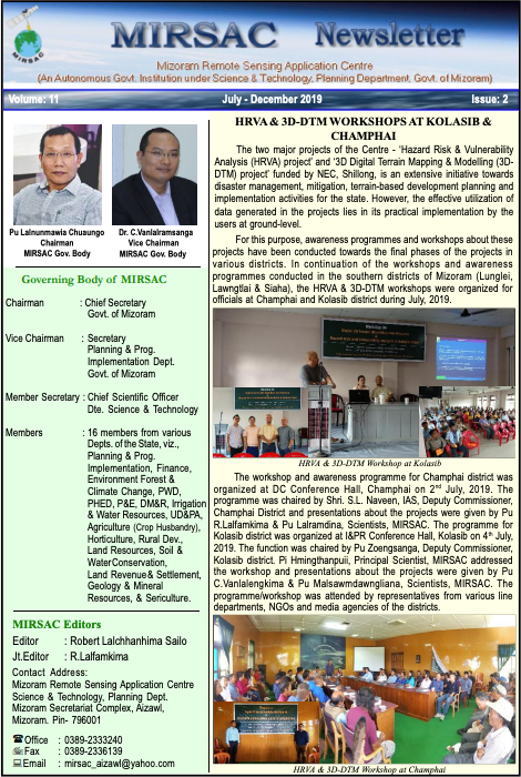
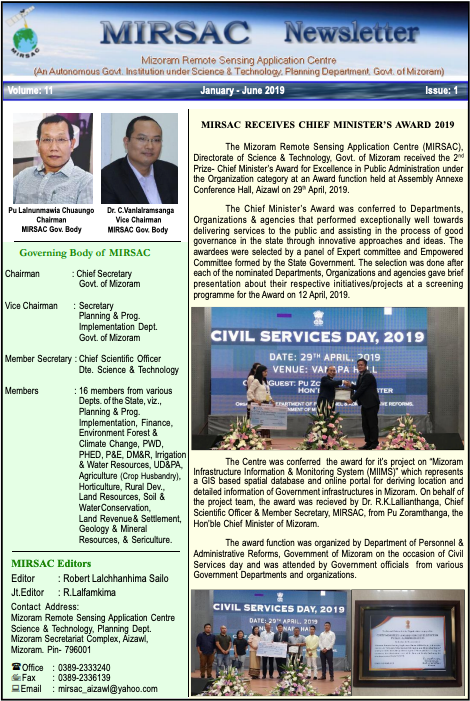
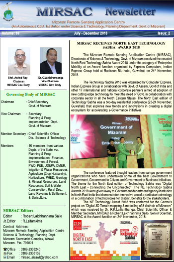
News
Who we are
The Mizoram Remote Sensing Application Centre (MIRSAC) began its journey in 1988 as a modest initiative under the name Mizoram State Remote Sensing Centre (MSRSC). It was initially established under the Science, Technology & Environment Wing, Planning Department, with a mission to explore and manage Mizoram’s natural resources using space technology. Recognizing the need for more effective management and operational flexibility, the Centre was restructured in 2008 as an Autonomous Government Institution and officially registered under the Mizoram Society Registration Act No. 13 of 2005. With this re-establishment, the Centre was renamed as the Mizoram Remote Sensing Application Centre (MIRSAC)

Key People

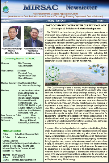
Khilli Ram Meena
Chief Secretary, Mizoram
& Chairman, Governing Body
MIRSAC

Lalmalsawma Pachuau
Secretary, Planning Dept.
Chairman, Executive Committee
MIRSAC

Er. H. Lalsawmliana
Chief Scientific Officer
& Member Secretary
MIRSAC

Our services
Your trusted partner in Geospatial services
We specialize in delivering reliable geospatial services tailored to meet the diverse needs of our users. Our expertise lies in generating multi-thematic spatial data, creating precise and detailed maps, and offering customized training programs. Whether you’re looking to harness the power of drone technology, or need comprehensive spatial analysis, MIRSAC is equipped to deliver. As technology advances, so will our capabilities, ensuring that we remain your trusted partner in the ever-evolving world of geospatial solutions.Explore the future of geospatial intelligence with MIRSAC—where innovation meets precision.
Access Data-driven insights
Whether you’re conducting a complex research, planning the next urban landscape, disaster mitigation plans or monitoring environmental changes, our comprehensive and precise datasets are meticulously crafted to meet your specific needs. You’re not just accessing data; you’re investing in accuracy, reliability, and a wealth of knowledge that transforms raw information into actionable insights. Order our data today and experience the difference that high-quality, expert-driven and reliable geospatial data can make for your work.